GIS Analyst · Chicago

GIS that makes the overlooked undeniable.

Real maps, real data, real people who needed someone to notice. New ones posted here roughly every week.

Welcome

Why this site exists

This started as a portfolio for GIS Analyst job applications. That's changed. It's now a running record of real mapping projects, posted here as I finish them, roughly every week or two.

Every project uses real data and answers a real question, whether that's where mental health care is hardest to reach in Illinois, how a flood response actually unfolded in Nepal, or how the borders of North America shifted over five centuries. Civic projects tend to be about people who get overlooked. Personal ones are just things I find genuinely interesting.

New posts show up here first, with the full archive on the Blog page.

Latest

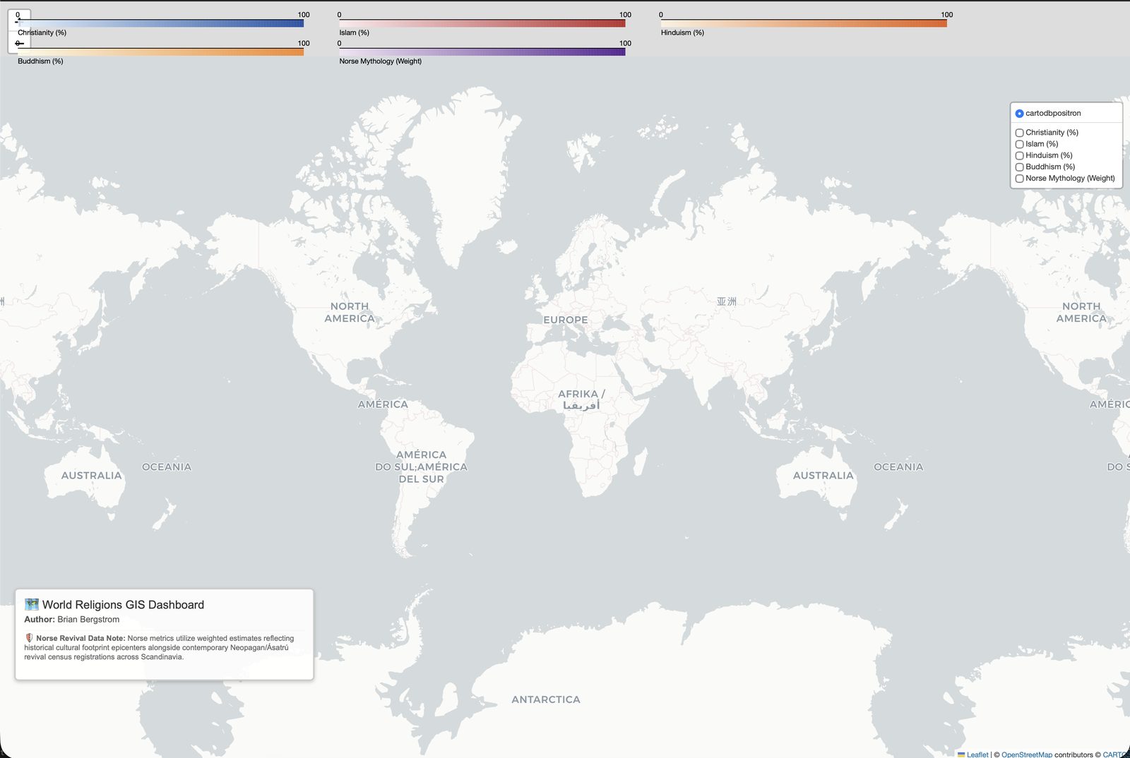
Interactive dark-themed world map showing dominant religion by country, with real OpenStreetMap Pagan and Heathen sites marked and Iceland's real Ásatrú membership growth.
Personal — gift

World Religions, Mapped for Real

A full rebuild of an early AI-assisted project running on fake mock data, replaced with real Pew Research figures, real OpenStreetMap Heathen sites, and Iceland's real government-tracked Ásatrú growth.

Read the story
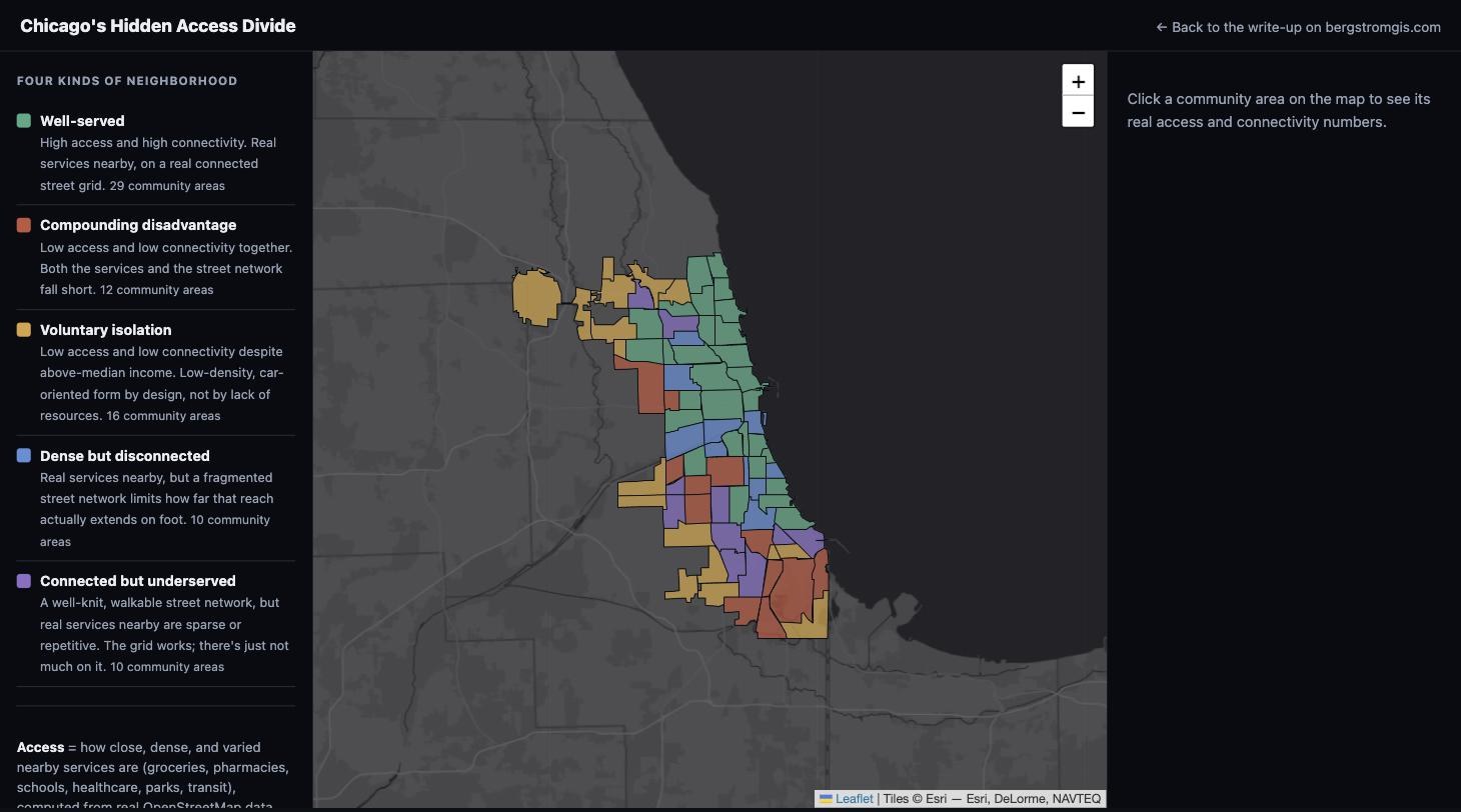
Interactive map of Chicago's 77 community areas colored by access and connectivity category.
Civic — Independent Study

Chicago's Hidden Access Divide

Replicating a April 2026 PLOS ONE street-network study on Chicago for the first time, to find which neighborhoods have real services nearby AND a connected street grid, and which have only one or neither.

Read the story
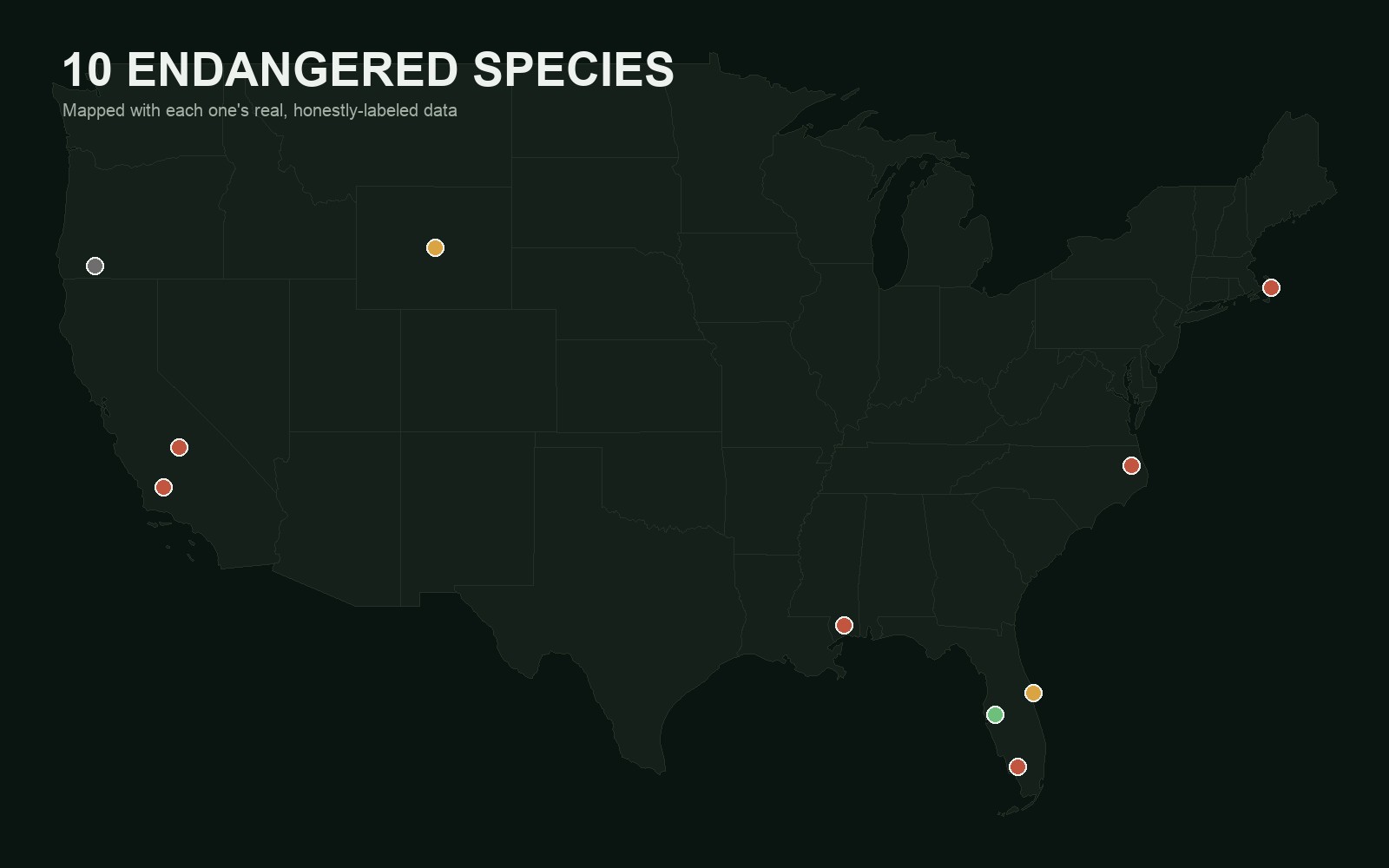
Dark map of the continental United States with ten colored markers showing the real locations of ten endangered species.
Personal — pure interest

10 Endangered Species, Mapped Honestly

Ten of the most endangered species in the U.S., each mapped with its own real, best-available metric, not one uniform number forced onto all of them.

Read the story
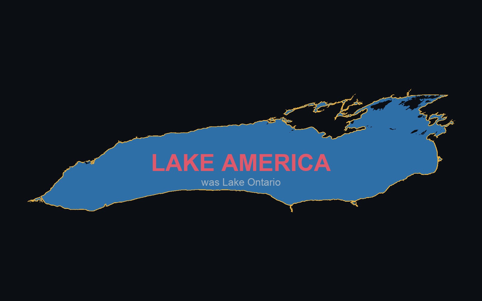
Real outline of Lake Ontario's shoreline, labeled LAKE AMERICA with 'was Lake Ontario' underneath.
Civic — Independent Study

Lake Ontario, or Lake America?

A single executive order renamed a Great Lake for U.S. Google Maps users. A real toggle map showing what changed, and why OpenStreetMap doesn't work that way.

Read the story
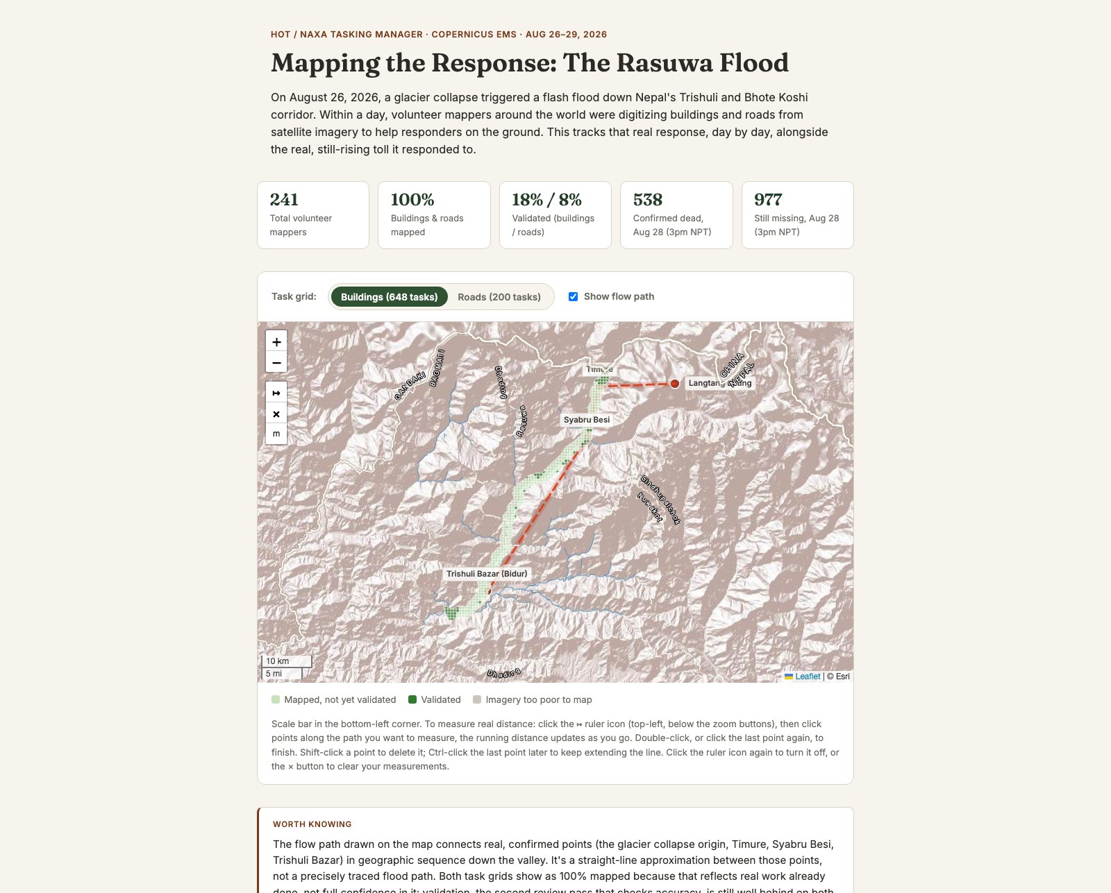
Mapping the Response: The Rasuwa Flood
Civic — Independent Study

Mapping the Response: The Rasuwa Flood

The real HOT/NAXA volunteer mapping response to the August 2026 Rasuwa flood in Nepal, alongside cloud-masked before/after satellite imagery and the real, still-rising toll.

Read the story
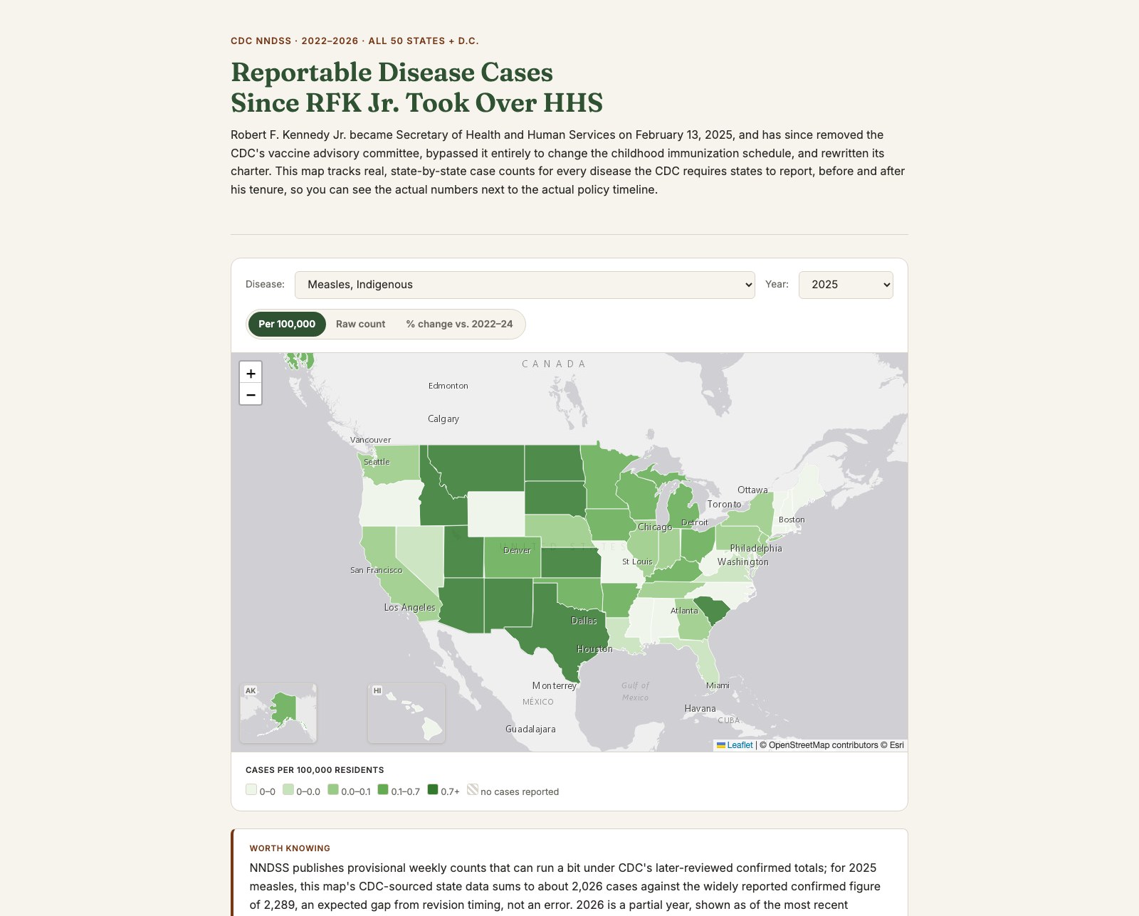
Reportable Disease Cases Since RFK Jr. Took Over HHS
Civic — Independent Study

Reportable Disease Cases Since RFK Jr. Took Over HHS

A national map of real, state-by-state case counts for every CDC-notifiable disease, tracked against the actual dated timeline of federal vaccine policy changes since RFK Jr. took over HHS.

Read the story

See all posts →