GIS that makes the overlooked undeniable.
Real maps, real data, real people who needed someone to notice. New ones posted here roughly every week.
ICE Detention Facility Map
Mapping every U.S. Immigration and Customs Enforcement detention facility and its reported population, as of March 2026.
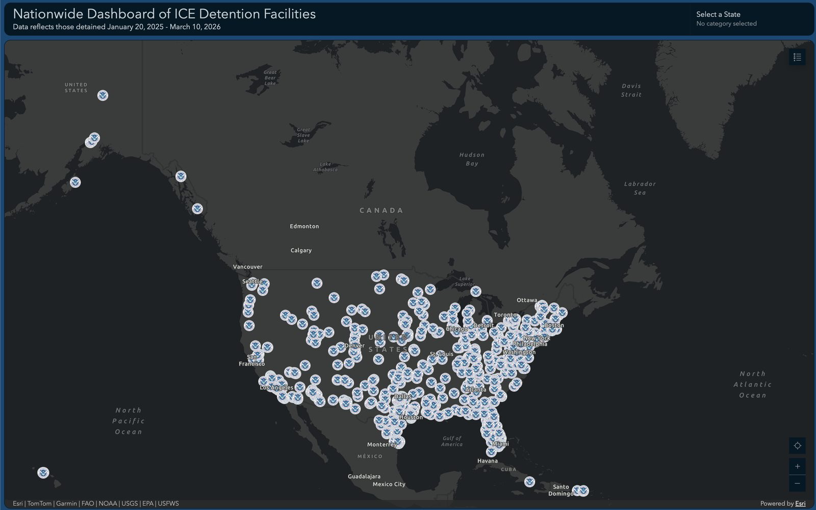
This dashboard maps all U.S. Immigration and Customs Enforcement detention facilities and their reported populations as of March 2026. It's built on an ArcGIS Dashboard, built on a separate ArcGIS account from my other work, sourcing and structuring facility-level data that isn't otherwise easy to see in one place.
The technical goal was straightforward: take a large, dispersed federal system and make it visible and legible as a single map, rather than dozens of disconnected records.
Live dashboard, national coverage.
View the dashboard (opens in a new tab)