GIS that makes the overlooked undeniable.
Real maps, real data, real people who needed someone to notice. New ones posted here roughly every week.
Lake Ontario, or Lake America?
A single executive order renamed a Great Lake for U.S. Google Maps users. Here's a real map of what actually changed, and why OpenStreetMap doesn't work that way.
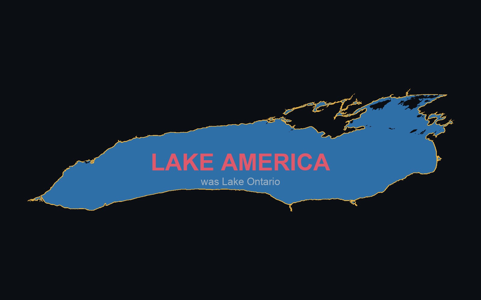
On August 28, 2026, President Trump signed an executive order directing the U.S. Geographic Names Information System, GNIS, the federal government's own authoritative names database, to rename Lake Ontario to "Lake America." Two days later Google Maps updated for U.S. users, because Google's stated policy is to mirror whatever GNIS says for U.S. territory. Canadian users still see "Lake Ontario." Everyone else sees both names. I built a real map of the lake with a toggle showing exactly that contrast, because it's a cleaner demonstration of something I've believed for a while than any argument I could write: "authoritative" map data isn't neutral, it's just downstream of whoever controls the database everyone agreed to trust.
One executive order, one database, one company that mirrors it
Google was explicit about the mechanism in their own announcement: "these updates follow our long-standing policy for bodies of water with names that vary from country to country," reflecting "official government sources, which is GNIS for the U.S." That's not Google editorializing. It's Google running a lookup against a database one government controls, for every user inside that government's borders, automatically, the same day the database changes. No human at Google decided Lake Ontario should be called anything — a single office in Washington did, and the world's most-used map followed without a review.
The names OpenStreetMap already carries
I pulled the lake's real OpenStreetMap record directly (relation 1206310) rather than assume what it contains. It already carries the lake's name in more than two dozen languages simultaneously, including three that predate "Ontario" as an English word:
Mohawk: Oniatarí:io. Cayuga: Ganyadáiyoˀ. Ojibwe: Niigani-gichigami. English: Lake Ontario, itself an anglicization of a Haudenosaunee word for "great lake." New York governor Kathy Hochul made this same point directly, calling the renaming "patently absurd" for writing over a name that already honors the region's Indigenous peoples. OpenStreetMap didn't need an executive order to notice that — it's just how the record has looked for years, maintained by an international community instead of one country's database.
This isn't the first time
In 2025 the same mechanism renamed the Gulf of Mexico to the "Gulf of America" for U.S. Google Maps users, which triggered enough coordinated review-bombing that Google had to disable reviews on the location entirely. Same executive order, same GNIS database, same company mirroring it by policy — twice now, on two different bodies of water that both border other countries. That's a pattern, not a one-off.
Apple Maps hadn't updated the name as of Sunday morning. MapQuest posted a screenshot captioned "we're not changing it" and built a small web toy about the whole situation. Senate Minority Leader Chuck Schumer called the renaming effort "juvenile." None of that reversed anything on Google Maps — the point is that "authoritative" turned out to mean exactly one company's policy choice, not something every map had to agree with.
If you want a map nobody can rename for you
The map above runs entirely on the same OpenStreetMap data these apps use, and the toggle is real: flip it and the label actually changes on the real shoreline, not a mockup. If you want your everyday map to work the same way, OsmAnd and Organic Maps are both free, open source, support real offline turn-by-turn navigation, and read from the exact same community-governed record. No account, no ads, no single government with edit access to what your map calls things.
Flip the toggle yourself and read the real sources below the map.
View the map (opens in a new tab) View the code (opens in a new tab)