GIS that makes the overlooked undeniable.
Real maps, real data, real people who needed someone to notice. New ones posted here roughly every week.
10 Endangered Species, Mapped Honestly
Ten of the most endangered species in the United States, each mapped with its own real, best-available data, not a single uniform number forced onto all of them.
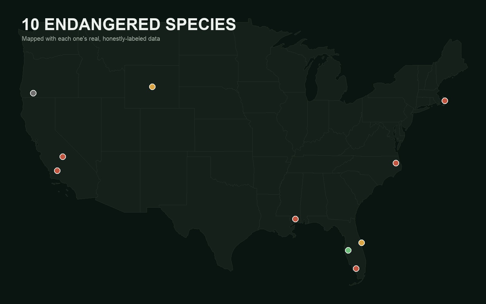
I wanted to map the most endangered species in the country, with each one's population broken down by state. That turned out to be the wrong ask, or at least an incomplete one. Some of these species do have a clean population count you can rank by state. Others are only tracked by nest counts, not living animals. One has no rangewide survey at all, by the federal government's own admission. One hasn't been confirmed alive since 2006. Forcing all ten into the same table would have meant inventing numbers that don't exist. So instead, each species on the map gets whatever its real, best-available metric actually is, labeled honestly as what it is.
The list itself is a choice, not a ranking
There's no single official "top 10 most endangered" list. I picked ten well-documented species rather than chasing a strict lowest-population ranking, since a stricter cut would trade real, richly documented stories (the California condor's four tracked regional populations, the manatee's real annual survey) for species with barely any public data at all. That's a real tradeoff, and it's worth naming instead of pretending the list is more rigorous than it is.
Franklin's bumble bee has the narrowest range of any bumble bee in North America, five counties in the Klamath Mountains of Oregon and California, and despite real, sustained survey effort, it hasn't been confirmed alive since 2006. It was listed as endangered in 2021 on the strength of that absence. As far as anyone can currently confirm, its population is zero. That's not a data gap I'm papering over; it's the actual finding.
The best real data belongs to the manatee
Florida runs an actual annual winter survey, county by county, when cold weather pushes manatees into warm-water refuges, and FWC publishes the results as real, queryable GIS data. The map shows the 2019 survey, the most recent year in their public dataset, aggregated to 5,733 manatees across 24 counties, Lee, Citrus, and Hillsborough counties leading. That's a different vintage than the newer statewide estimate of 9,790 from the 2021–22 survey, cited separately rather than blended together, since they're not the same count.
Some ranges are counties, not states
For species confined to a handful of counties, mapping them at the state level would have flattened away the actual story. The Mississippi gopher frog's entire wild population breeds at one pond in Harrison County. The red wolf exists in the wild only across five counties on North Carolina's Albemarle Peninsula. The San Joaquin kit fox's own 2025 federal status review says plainly that no rangewide population survey has ever been conducted, so the map shows the two real regional monitoring series that do exist instead of a total that would just be invented.
Pick a species and read its own real numbers and sources.
View the map (opens in a new tab) View the code (opens in a new tab)